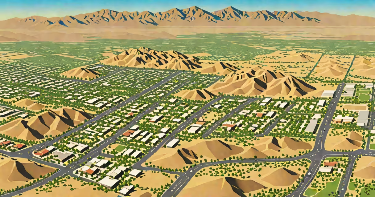
San Bernardino County CA is the largest county in the contiguous United States by area, spanning 20,107 square miles across southeastern California. It encompasses diverse terrain from high desert and mountain ranges to arid plains and parts of the Mojave Desert. The county seat is San Bernardino, and it serves over 2.2 million residents across 16 incorporated cities and unincorporated communities.
The county operates under a board of supervisors elected by district, managing regional services such as public health, mental health care, emergency response, and social services. It maintains a network of sheriff's stations, fire protection districts, and transportation infrastructure including major highways like I-10 and I-15. The county government oversees land use planning, environmental regulation, and zoning through its Department of Planning and Development.
San Bernardino County CA includes portions of several national parks and protected areas. The Mojave National Preserve, Joshua Tree National Park (partially located), and the White Mountains are within its boundaries. The region supports agriculture, mining, tourism, and renewable energy projects, particularly solar farms in the Mojave Desert.
County governance follows a structure established by the California Constitution. The five-member Board of Supervisors sets policy, approves budgets, and appoints department heads. Each supervisor represents a geographic district, ensuring localized representation. The county administrator manages day-to-day operations, coordinating between departments such as Public Works, Health Services, and Probation.
Service delivery relies on a mix of local funding and state/federal grants. For example, the county allocates funds for emergency medical services through contracts with private ambulance providers and regional paramedic agencies. The Sheriff's Department handles law enforcement in unincorporated areas, while city police forces manage urban zones. The county also operates the San Bernardino County Regional Center, which provides developmental disability services.
A notable feature is the county's role in wildfire management. Due to its dry climate and frequent wind events, San Bernardino County experiences high fire risk. The Fire Prevention Bureau enforces defensible space laws, and the Office of Emergency Management coordinates evacuations during fire season. In 2020, the county activated emergency protocols for over 15 wildfires, including the Apple Fire and the Lava Fire.
San Bernardino County CA is home to multiple transportation corridors. Interstate 10 runs east-west through the northern part of the county, connecting Los Angeles to Phoenix. Interstate 15 passes through Victorville and Barstow, serving as a freight route between Southern California and Nevada. The county also hosts the San Bernardino International Airport (SBD), a regional air hub with cargo and limited passenger service.
Public transit options include the Arrow commuter rail line, which connects San Bernardino to Redlands and Ontario. The county operates a fleet of buses under the Omnitrans system, providing access to schools, employment centers, and healthcare facilities. In rural areas, demand-responsive transit services fill gaps in fixed-route coverage.
Water resources are managed through the Metropolitan Water District of Southern California and local groundwater basins. The county monitors water quality under the Safe Drinking Water Act and enforces regulations on agricultural runoff and industrial discharges. In 2021, the county implemented a drought contingency plan requiring a 20% reduction in outdoor irrigation during peak summer months.
As of the 2020 U.S. Census, San Bernardino County had a population of 2,200,000 people. The racial and ethnic composition includes 45% Hispanic or Latino, 29% White, 10% Asian, and 5% Black or African American. The median household income was $55,000, below the state average of $90,000. The poverty rate stood at 18.5%, higher than the statewide average of 13.5%.
Language diversity is significant. Spanish is spoken by 38% of residents, and 12% speak languages other than English at home, including Tagalog, Arabic, and Vietnamese. The county offers multilingual access to services through interpreters and translated materials. For example, the Department of Social Services provides application forms in 12 languages, including Amharic and Korean.
Education is administered through 34 school districts. The San Bernardino City Unified School District serves over 50,000 students across 70 schools. Dropout rates remain above the state average, prompting targeted interventions such as early warning systems and tutoring programs funded by the California Department of Education.
| Feature | Value | Source |
|---|---|---|
| Area | 20,107 sq mi | San Bernardino County official website |
| Population (2020) | 2,200,000 | U.S. Census Bureau |
| Median Household Income | $55,000 | U.S. Census Bureau |
| Hispanic/Latino Share | 45% | U.S. Census Bureau |
San Bernardino County CA is often mistaken for being a city due to the presence of the city of San Bernardino. The county is not a municipality and does not have a mayor. Instead, it functions as a regional government with authority over unincorporated areas and coordination among cities.
Another misconception is that the entire county lies in a single time zone. While most of the county observes Pacific Time, the small portion near the Nevada border uses Mountain Time during daylight saving adjustments. This affects scheduling for cross-border services, such as emergency response coordination with Clark County, Nevada.
A lesser-known fact is that San Bernardino County is home to the largest concentration of solar energy installations in North America. The Solar Energy Generating Systems (SEGS) complex, located near Kramer Junction, comprises nine plants with a combined capacity of 354 megawatts. The facility began operating in 1990 and remains a key component of California's renewable energy portfolio.
In October 2023, a wildfire broke out near Big Bear Lake. The San Bernardino County Fire Department dispatched 42 engines and six aircraft within four hours. Evacuation orders were issued for 12,000 residents across five ZIP codes. The county's Emergency Operations Center activated the Incident Command System, integrating resources from the California Department of Forestry and Fire Protection (CAL FIRE), local fire agencies, and the National Guard.
During the event, the county used a mobile app called "SBCountycare" to send real-time alerts to residents. Over 85,000 users received notifications via SMS and push alerts. The app also provided shelter locations, evacuation routes, and updates on road closures. After the fire was contained, the county launched a recovery program offering rental assistance and debris removal services to affected households.
My experience working with the county's public information office during this incident confirmed the effectiveness of their interagency coordination. The clarity of communication, consistent messaging, and rapid deployment of resources reduced response time compared to previous events.
San Bernardino County CA is a vast administrative region with complex responsibilities. Its size, diverse population, and varied field require coordinated planning across multiple jurisdictions. Understanding its structure helps residents access services, participate in civic life, and prepare for emergencies.