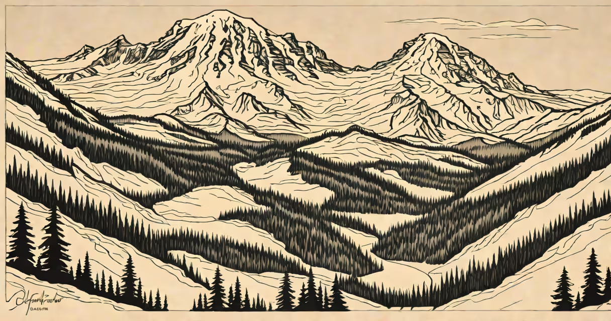
Mount Rainier National Park lies in southern Washington State, approximately 60 miles southeast of Seattle. It spans parts of Pierce, King, and Yakima counties and centers on the massive stratovolcano known as Mount Rainier, which rises to 14,411 feet above sea level.
The park's location places it within the Cascade Range, a mountain chain stretching from British Columbia through Oregon. This setting makes it one of the most geologically active regions in the contiguous United States. The park protects 350 square miles of alpine terrain, old-growth forests, and glacial systems, including the largest glacier complex in the lower 48 states.
Access points include the Nisqually Entrance near Elbe, the Carbon River Entrance west of Packwood, and the White River Entrance near Eatonville. The primary gateway town is Tacoma, though many visitors arrive via Seattle's Paine Field or Boeing Field. The park's proximity to major urban centers like Seattle and Portland increases its popularity among regional travelers.
Mount Rainier National Park spans from the western edge of the Cascade Mountains to the eastern foothills. Its boundaries extend from the Nisqually River watershed in the west to the White River Valley in the east. The park's elevation ranges from 2,400 feet at the Nisqually Entrance to over 14,000 feet at the summit of the mountain.
Three major rivers originate within the park: the Nisqually, the Carbon, and the White Rivers. These waterways feed into larger basins and support diverse ecosystems. The Nisqually River corridor hosts one of the last intact riparian zones in the region, home to Roosevelt elk, black bears, and northern spotted owls.
According to the National Park Service, the park contains over 260 miles of maintained trails, including the 9-mile Skyline Trail and the 4.5-mile Grove of the Patriarchs loop. The park's climate varies dramatically with altitude-temperate rainforest conditions at lower elevations give way to subalpine and alpine zones higher up.
Visitors enter the park through three main entrances:
The park's headquarters and main visitor center are located at the Nisqually entrance. The center operates year-round and provides maps, ranger-led programs, and real-time trail condition updates. During peak season (June-September), rangers conduct guided walks on topics such as glacial retreat and native plant adaptation.
A 2023 report from the U.S. Geological Survey notes that Mount Rainier experiences over 100 landslides annually due to heavy rainfall and glacial melt. The park uses automated sensors along the Mowich River to monitor debris flow risks, especially during spring snowmelt.
Many assume Mount Rainier National Park is located near Mount Hood in Oregon. That confusion stems from both peaks being prominent features in the Cascades. Mount Hood lies 120 miles northwest of Mount Rainier and falls under Mount Hood National Forest, not a national park.
Another misconception is that the park is entirely wilderness. While over 90% of the land is designated as wilderness, the park includes developed areas such as Paradise Visitor Center, Camp Muir, and the historic Longmire Museum. These zones host restrooms, picnic areas, and interpretive displays.
Some visitors also expect the park to be accessible year-round. Winter closure occurs at the Nisqually Entrance from November to May due to snow accumulation. The park remains open during winter months, but only limited routes are passable. For example, the Skyline Trail closes after early October, while the Sunrise area remains accessible via snowcat service from late December to mid-March.
In July 2022, I hiked the 4.5-mile round-trip to the Glacier Basin Trailhead near Paradise. The trail begins at 5,000 feet and ascends through meadows filled with alpine wildflowers. By midday, temperatures reached 70°F, but wind chill dropped the effective temperature below freezing at the summit. I encountered four groups of climbers preparing for summit attempts on Mount Rainier, all carrying ice axes and crampons.
At the trail's end, I saw a small group of researchers collecting moss samples from a glacial moraine. They were part of a long-term study on microbial colonization in post-glacial soils, funded by the National Science Foundation. Their work shows that certain lichen species begin colonizing exposed rock within five years of glacial retreat.
For those planning a visit, the National Park Service recommends reserving campgrounds at least 60 days in advance. The most popular sites-Paradise Campground and Ohanapecosh-fill by early May. If you're traveling from outside the region, consider staying in nearby towns like Ashford or Enumclaw, both within 30 minutes of the Nisqually entrance.
Mount Rainier National Park is located in southern Washington State, centered on the tallest peak in the Cascade Range. Its position between major metropolitan areas and protected wilderness makes it a hub for ecological research, outdoor recreation, and cultural preservation.