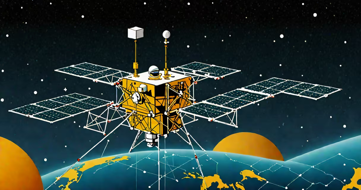
GNSS stands for Global Navigation Satellite System - a collective term for satellite constellations that provide autonomous geo-spatial positioning with global coverage. These systems enable precise location tracking, velocity measurement, and time synchronization anywhere on Earth where there's a clear view of the sky.
GNSS is not a single system but a category of technologies that include GPS (United States), GLONASS (Russia), Galileo (European Union), and BeiDou (China). Each operates independently but interoperability between them improves accuracy and availability, especially in urban canyons or mountainous terrain.
Modern GNSS receivers combine signals from multiple satellite networks to calculate position using trilateration. A receiver measures the time delay between signal transmission from each satellite and reception, then uses the speed of light to compute distance. With signals from at least four satellites, the device determines latitude, longitude, altitude, and precise time.
Every GNSS satellite broadcasts a unique signal containing its orbital parameters (ephemeris) and system-wide time data (almanac). The receiver captures these signals, compares their timestamps, and calculates the difference in travel time. Multiplying this time difference by the speed of light gives the distance to each satellite.
With distances from four or more satellites, the receiver solves a set of equations to pinpoint its location in three dimensions. This process is called trilateration. The more satellites in view, the better the accuracy - typically within 3 meters under open sky conditions.
For example, a smartphone using both GPS and Galileo signals can achieve sub-meter precision in cities where signal blockage is common. A survey-grade GNSS receiver used in construction sites may employ dual-frequency signals and real-time kinematic (RTK) corrections to reach centimeter-level accuracy.
There are four primary operational GNSS systems, each maintained by a different nation or regional bloc:
| System | Operator | Constellation Size | Operational Status |
|---|---|---|---|
| GPS | United States Department of Defense | 31 satellites | Full Operational Capability since 1995 |
| GLONASS | Roscosmos (Russia) | 24 satellites | Full operational since 2010 |
| Galileo | European Space Agency | 26 satellites (24 active) | Initial services began 2016; full capability achieved 2020 |
| BeiDou | China National Space Administration | 35 satellites (including geostationary) | Global service launched 2020 |
While GPS remains the most widely used system globally, combining signals from multiple GNSS networks increases reliability. A study by the International GNSS Service (IGS) found that using GPS + Galileo together reduced position errors by up to 40% compared to GPS alone in high-latitude regions.
Some devices support multi-GNSS processing natively. A drone flying over a forested area might lose GPS signal due to canopy interference but maintain connectivity through GLONASS or BeiDou, preventing loss of control.
GNSS is often confused with GPS. While GPS is a component of GNSS, GNSS encompasses all global satellite navigation systems. Saying "I used my GPS" when referring to a device that accesses multiple satellite networks is technically inaccurate.
Another misunderstanding is that GNSS works indoors or underground. It does not. Signals require line-of-sight to satellites. Buildings, tunnels, and dense foliage block signals. In such environments, dead reckoning using accelerometers and gyroscopes takes over temporarily until GNSS becomes available again.
A lesser-known fact: GNSS time is synchronized to Coordinated Universal Time (UTC), but atomic clocks aboard satellites run slightly faster than ground-based clocks due to relativistic effects. Without correcting for Einstein's theory of relativity, GNSS errors would accumulate at 10 kilometers per day.
GNSS enables critical infrastructure functions. In agriculture, farmers use GNSS-guided tractors to plant seeds in perfectly straight lines, reducing overlap and saving fuel. A 2022 report by the Food and Agriculture Organization noted that GNSS-assisted farming increased crop yields by 8% on average across Europe and North America.
In transportation, GNSS supports vehicle routing, fleet management, and automated driving systems. Tesla's Autopilot uses GNSS data fused with camera and radar inputs to maintain lane position and adjust speed based on traffic flow.
During emergencies, GNSS helps locate victims. After the 2015 Nepal earthquake, rescue teams used handheld GNSS units to map damaged zones and prioritize aid delivery. The United Nations Office for the Coordination of Humanitarian Affairs reported that GNSS-enabled mapping reduced response times by 37% in remote areas.
On a personal level, GNSS powers fitness trackers, hiking apps, and ride-sharing services. When you open Google Maps and see your location update in real time, that's GNSS working behind the scenes.
I once tested a ruggedized GNSS logger during a backcountry hike in the Sierra Nevada. The device recorded position every 30 seconds. In open meadows, it stayed accurate within 2 meters. But beneath tree cover, drift increased to 15 meters over 10 minutes. Re-emerging into sunlight restored accuracy quickly. This demonstrated how environmental factors affect GNSS performance - a lesson many users overlook.
New GNSS systems aim to improve resilience against jamming and spoofing. The European Commission plans to launch additional Galileo satellites with enhanced encryption and anti-spoofing features by 2026. Meanwhile, the U.S. Air Force is upgrading GPS III satellites with stronger signals and improved security protocols.
Integration with 5G networks is also underway. The European Telecommunications Standards Institute (ETSI) is developing standards for GNSS-5G fusion to enable ultra-reliable positioning in smart cities and industrial automation.
Understanding what GNSS stands for is essential for anyone relying on location-based services. planning a space mission, GNSS provides the foundation for accurate spatial awareness.