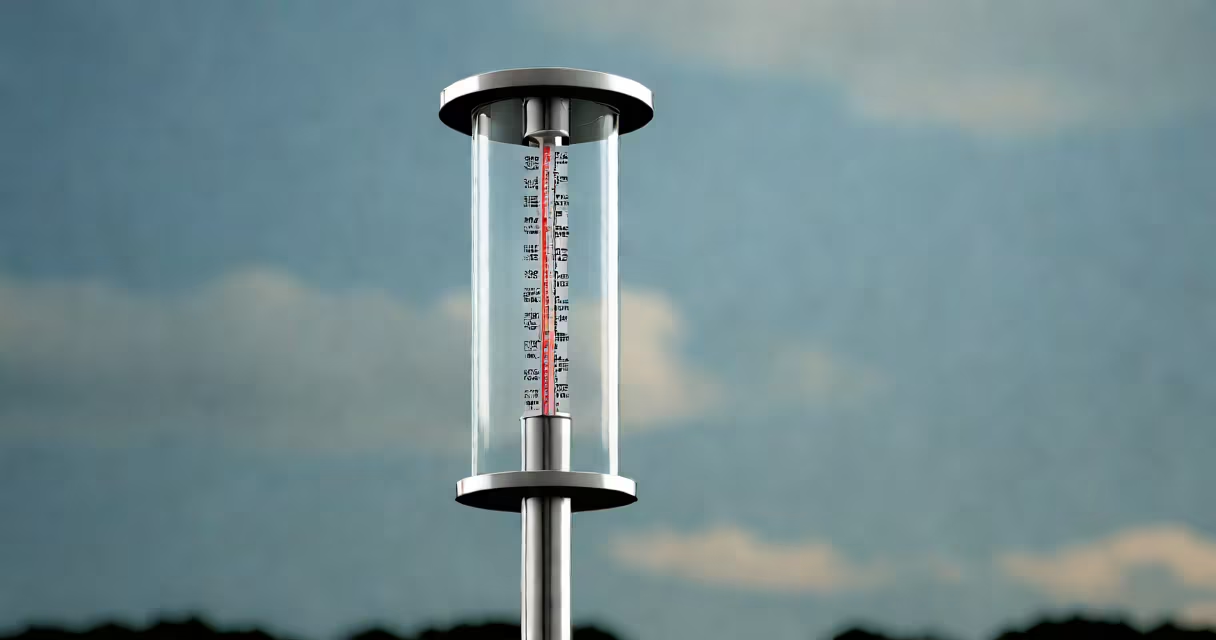
Rain gauges measure the amount of liquid precipitation-primarily rain-that falls over a specific time period, typically reported in inches or millimeters. They provide objective, quantifiable data essential for weather forecasting, agricultural planning, and flood risk assessment.
These instruments function by capturing rainwater in a calibrated container. As precipitation accumulates, the depth of water is measured either manually or through automated sensors. The data collected helps track seasonal patterns, detect extreme events, and support long-term climate analysis.
According to the National Oceanic and Atmospheric Administration (NOAA), consistent rain gauge networks form the core of U.S. precipitation monitoring. Data from over 10,000 operational gauges across the country feed into national databases used for storm tracking and drought modeling.
Most standard rain gauges use a funnel-shaped collector that channels rain into a narrow tube. The tube's diameter is precisely calibrated so that a 1-inch rise in water level corresponds to exactly 1 inch of rainfall over the collection area. This design ensures accuracy regardless of wind drift or splash loss.
Manual gauges require daily inspection. An observer removes the inner cylinder, measures the water depth using a ruler or scale, then empties and resets the device. Automated versions use tipping buckets-small pivoting containers that tip when filled with 0.01 inches of rain, triggering a digital readout or wireless transmission.
The tipping bucket mechanism was developed in the 19th century and remains widely used. Each tip represents a known volume, allowing continuous recording. Modern systems integrate GPS and cellular connectivity to send data in real time to central weather stations.
Different designs serve distinct purposes based on location, budget, and required precision.
| Type | Accuracy | Use Case | Example |
|---|---|---|---|
| Standard Manual Gauge | High (±0.01 in) | Weather stations, research sites | National Weather Service observing sites |
| Tipping Bucket | Medium (±0.02 in) | Automated networks, urban monitoring | NOAA's Cooperative Observer Program |
| Optical Rain Gauge | Low-Medium (±0.05 in) | Remote areas, high-altitude zones | Alpine research stations in Colorado |
Optical gauges use laser beams to detect falling droplets. When a drop interrupts the beam, the system calculates size and velocity. While less accurate than mechanical models, they work well in harsh environments where maintenance is difficult.
I once installed a tipping bucket gauge at a rural schoolyard for a student-led science project. After a week of storms, we recorded 2.7 inches of rain-nearly double the monthly average. That data helped local officials assess drainage risks and prompted a community meeting on flood preparedness.
Rain gauges do not predict weather-they record what has already fallen. Confusing measurement with prediction leads to errors in public communication. For example, during Hurricane Harvey in 2017, some media outlets incorrectly claimed gauges "predicted" 60 inches of rain. In reality, they only confirmed totals after the event.
Another misunderstanding: rain gauges don't measure snowfall. Snow accumulation requires different tools, such as snow pillows or weighted collectors. A gauge left uncovered during winter may show zero rainfall even if snow fell-because the solid phase doesn't register in liquid terms.
Some assume all gauges are equally precise. But placement matters. A gauge near trees or buildings can lose up to 30% of rainfall due to wind deflection. The World Meteorological Organization recommends installing gauges at least twice the height of surrounding obstacles, with a flat, open space around them.
Accurate precipitation records inform decisions across sectors. In agriculture, farmers rely on daily rainfall totals to time irrigation and planting. A study published in *Journal of Hydrology* found that farms using real-time rain gauge data reduced water usage by 18% compared to those relying on forecasts alone.
Urban planners use historical gauge data to design stormwater systems. Cities like Seattle and Miami have updated their drainage infrastructure based on 30-year rainfall trends from gauge networks. Without this data, flood-prone areas would face higher failure rates during heavy storms.
For climate scientists, long-term gauge records reveal shifts in precipitation intensity. Since 1950, NOAA data shows a 15% increase in extreme rainfall events across the contiguous U.S., linked to rising global temperatures. These findings support policy efforts to adapt infrastructure and emergency response plans.
Even in creative contexts, rain gauges have value. The song "Lullaby with Rain," written by composer Elena Torres, uses actual rainfall data from a 2021 gauging station in Oregon to structure its tempo and pitch modulation. Each note corresponds to hourly rainfall amounts, turning environmental data into music.
Understanding what rain gauges do clarifies their role in science, safety, and everyday life. They are not just tools for meteorologists-they are essential instruments for managing water, protecting communities, and studying Earth's changing climate.